Sunday, 13 March 2005
Point - 24/02/05
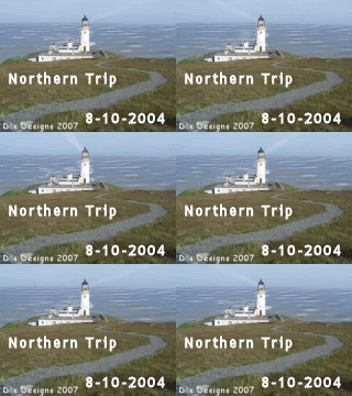
Went out to look for new waterproof trousers, but I didn’t much like what the Fishermen’s Coop had to offer. Bit on the heavy side. The weather is iffy, and I get my bus timetables muddled up. Nonetheless, at 12.15 I’m on the bus heading out to Point (Eye Peninsula or An Rubha). Bus goes round Goat Hill, Plasterfield, Sandwick and Melbost before heading across the Braighe. The route diverts off the main road (A866) at Garrabost and Sheshader, but we nicely arrive at Portnaguran at 12.55. I walk up the road from the pier to the track at the end, then head east across the moors to Tiumpan Head. Sit above the lighthouse for lunch, then discover that there is actually a proper road which goes to the lighthouse out of Port Mholair. Information plaques in this area have been removed. Go round Tiumpan Loch and down the A866 to Aird. It’s nice and sunny now, albeit with a chilly wind. Halfway down the sideroad, a track branches off into fields. The fish van moves out as I approach. The track goes past trees onto moors beyond, and it’s not very clear where you have to turn off for the village of Sheshader. At the end of the road through the village, a track once more leads into the moors. A herd of sheep follow me closely and scurry off briefly when I try to shoo them off. They’re quite playful, but at an invisible line they stop and bleat after me. I was getting nightmares of the beasts following me all the way onto the bus &c. Cross the heathery moorland, always coming out by stiles inadvertently. Head round the westside of Loch an t-Sidhein, still in glorious sunshine. At 1.30 I reach the road outside Pabail Uarach, and I walk the length of the village. There is an incredibly steep hill into Pabail Iarach; the sun shines horizontally down the incline, and I can’t see a thing. On leaving Eagleton, I go badly astray on taking a wrong turning. When I take a compass bearing on my surroundings, I find myself due east of Loch an Duin. I drage myself west-northwest through bogs and ditches. The moor is littered with wrecked cars. After a fence, I take a bearing on a building in Cnoc and steadfastly head for that across the moor. I even manage to gain the main road, with half an hour to spare before sunset (5.45). Walk to the A866 and down to Aiginish. I have a minute or two to view the Landraiders’ Monument on the edge of the Braighe. In 1888, severalmen occupied land from which people had been evicted in the past. It required police deployment to evict them, but it is all part of the land struggle in Lewis. Other monuments stand at Back and Balallan. The bus nearly knocks me down as it pulls over to pick me up.
Subscribe to:
Post Comments (Atom)


No comments:
Post a Comment